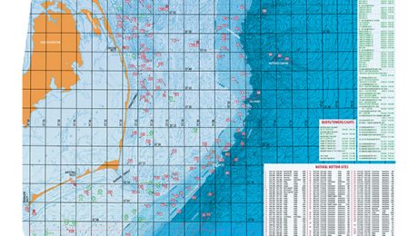
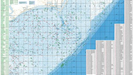
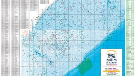
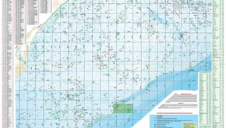
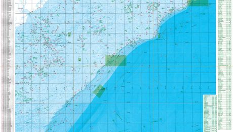
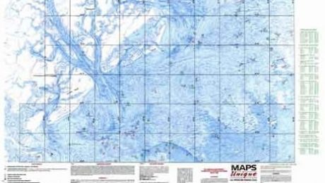
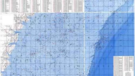
These are original map series, first published in 1988, and are known as the bathymetric/hard bottom series for the southeast. 1st published in a Loran version, they have more recently evolved to be back-to back GPS map areas covering the ocean from Oregon Inlet NC to St. Simon Island, GA.
Fishing and design features found on each map
- Detailed map series of the Southeast depicting prime offshore fishing habitats from over 30 years of research and knowledge.
- Geographically mapped in great detail is seafloor topography, natural Hard-bottom habitats, artificial reefs, wrecks and Marine Protected Areas (MPA’s).
- All habitat sites are named, numbered with coordinates, structure type with descriptions, and provide place name and water depth.
- Very detailed GPS navigation grid allowing the user to work the entire map and plot your own waypoints and position on the ocean providing understanding of your habitat and maps Unique content.
- Each map printed with 2 back-to back adjacent regions with perfect overlap by region. Two regions for a great value.
- Maps are heavy sealed laminated for durability and are folded into 3 panels for easy use and storage offfshore.
- Click “User guide” above for more features and design details. Includes tips on using contours and hardbottom plots effectively for finding and fishing bottom structure, and understanding and fishing the Gulfstream and nearshore water pockets and edges. Further instruction content can be found as youtube videos and articles written by Maps Unique located at www.coastalcarolinafisherman.com

