Nav-Unique + GPS Map Bundle
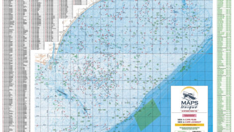
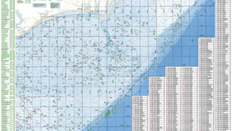
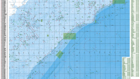
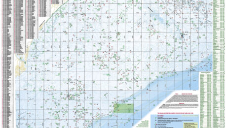
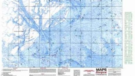
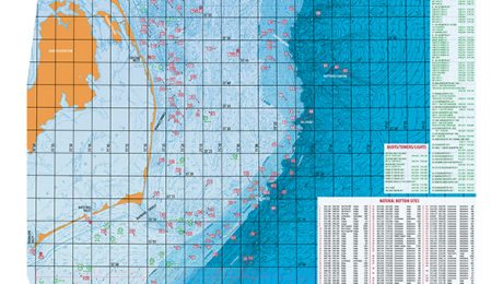
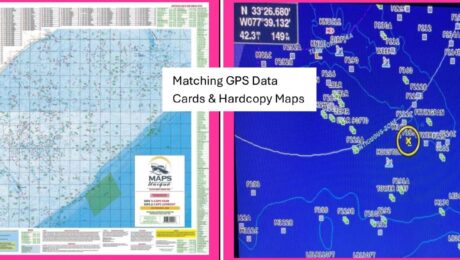
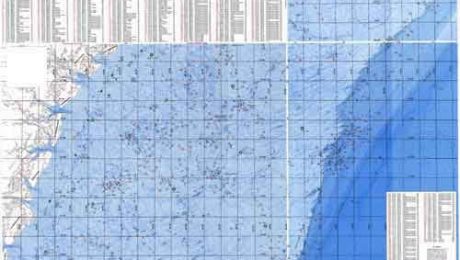
Nav-Unique is Maps Unique data on an SD card (or flashdrive if needed) and is designed to be used with our hardcopy GPS Map. Save $30 with Bundling Nav-Unique and a hard copy map.
SD Card Coverage Areas:
- Hatteras/Cape Lookout – (Oregan Inlet thru Swansboro) + Hatteras/Cape Lookout Map
- Cape Lookout/Cape Fear – (Morehead City thru Carolina Beach) + Cape Lookout/Cape Fear Map 2025 Version
- Cape Fear/Murrell’s Inlet – (New River Inlet thru Georgetown, SC) + Cape Lookout/Cape Fear Map 2025 Version OR Murrell’s Inlet/Charleston Map 2025 Version
- Murrell’s Inlet/Charleston – (Southport thru Charleston) + Murrell’s Inlet/Charleston Map 2025 Version
- Charleston/Beaufort, SC – (Charleston, SC to Edisto River, SC)
- Savannah, GA/Beaufort, SC – (South Edisto thru St. Simon Island, GA) + Savannah/Beaufort Map

About ``Nav-Unique`` SD Cards For Your GPS
The “Nav-Unique” product is provided on a Mini SD card, which comes with a standard SD card adapter included. This setup allows you to use the Mini SD card with devices that require either a Mini or standard SD card format.
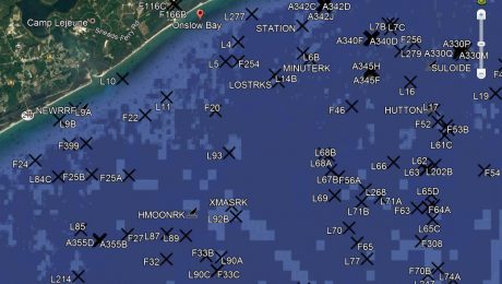
Our Nav-Unique SD cards feature six expansive regions with overlapping areas for comprehensive coverage to choose from. Each SD card pairs perfectly with our Maps Unique hardcopy map series for the Southeast, ensuring you have detailed, corresponding navigation both digitally and on paper. Each region contains over 1,000 unique waypoints, making manual imports a thing of the past!


